Trail Description
MAIN RAIL-BED TRAIL
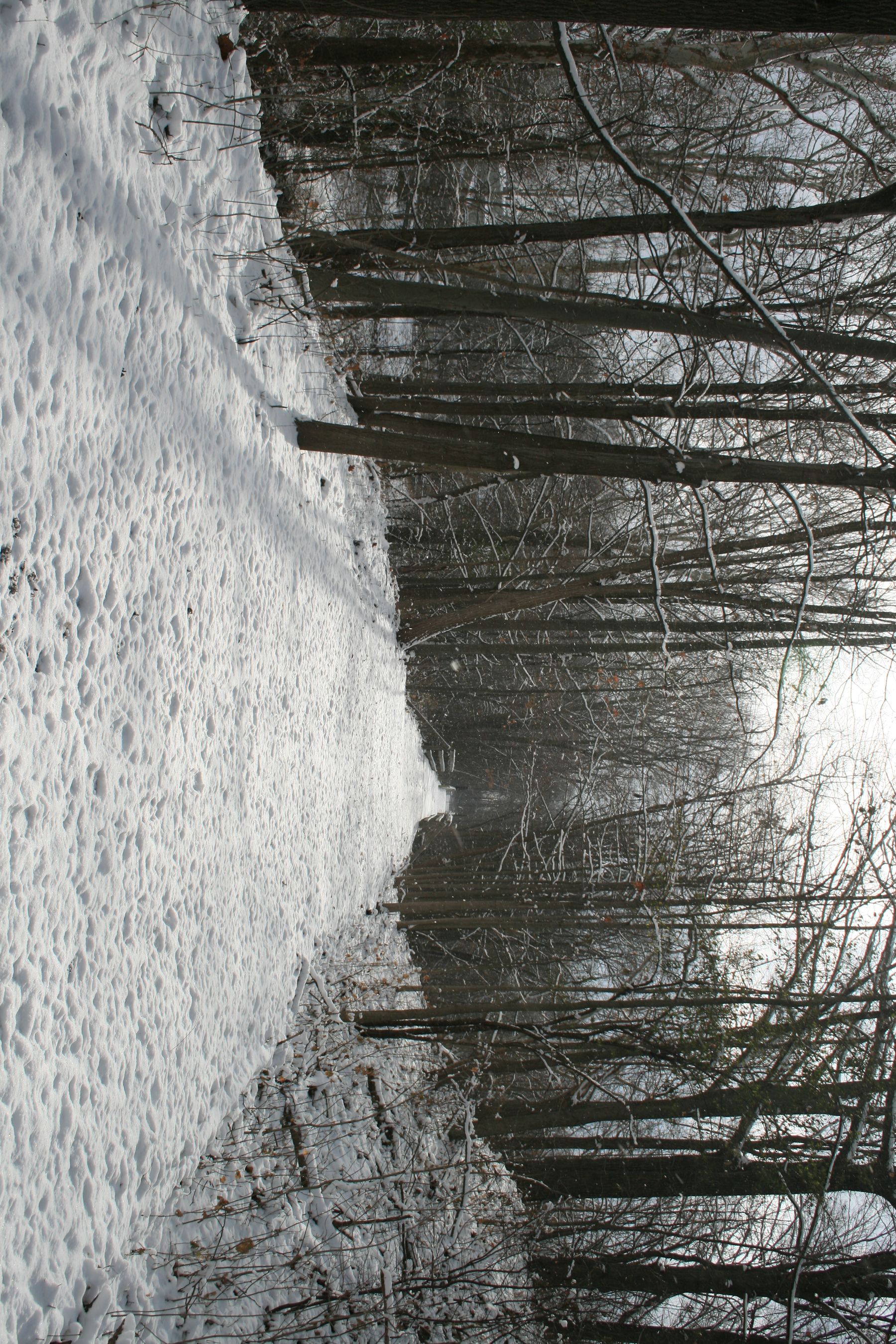
Our 23.3 mile main trail is on an abandoned rail bed of cinder, stone, and grass. The rail bed main trail is rated EASY. The rail bed is marked with mileage posts at half-mile increments.
There are two bypass areas not on the rail-bed:
- Just east of mile post 3.5 the trail turns off the rail bed for a quarter mile using private land, re-entering the rail bed at Freshour Road.
- From County Road 23 in Orleans there is a road walk for nine tenths of a mile north on State Route 488 where it re-enters the rail bed through an open field.
LOOP TRAILS
Additional three hiking-only loop trails: (see Trail Map April 2016 edition). All loop trails are rated EASY to MODERATE. The loop trails are marked with white blazes.
-
The one mile Flint Creek Loop Trail. Located in our Wheat Road section, this loop trail leads away from the rail bed taking you along Flint Creek. There are five access points in this section to enter this loop trail.
-
The three tenths of a mile Train Wreck Loop Trail. This is the site of the 1964 train derailment south of Orleans. Just over a half mile south of the Orleans County Road 23 trailhead is a plaque on a boulder noting the collision site. This loop trail starts with a descent off the rail bed to a loop along the basin next to Flint Creek.
-
The four tenths of a mile Hemlock Grove Loop Trail. This is named for the grove of Hemlock trees in the location. The trail directs you off the rail bed descending towards Beaver Dam Creek and the big culvert under our rail bed. Then it follows Beaver Dam Creek to where it joins Flint Creek.
-
Mill Falls Side Trail. Located in Orleans just past the Waddell Bridge in the old rail bed, this is a short walk to the edge of Flint Creek where there once was a mill on the other side of the creek. There is a small water fall here.
The BOCES parking lot/access trail is just to the south of the main BOCES campus on County Road 20 marked with the classic green and white hikers sign at the entrance of this lot.
PARKING
Please don't block the access gates! Best parking locations (marked with a "P" on the Trail Map)
Canandaigua Leg (west to east)
- Trailhead on Ontario St. (across from the Moose club) Plowed in the winter.
- Ontario County Fairgrounds, County Road 10. Plowed in the winter.
- New Covenant Baptist Church, County Road 46. Plowed in the winter.
- Freshour Rd, across from Coryn’s Farm Supply. Plowed in the winter.
- County Road 47, park on the east side of the road
- Depot Road, pull in off the gravel circle. Plowed in the winter.
- Stanley Junction, Mott Road
Phelps Leg (south to north)
- BOCES parking lot & Access Trail on County Road 20 on the east side between State Highway 5 & 20 and the BOCES main campus. Marked by a green and white hikers road sign.
- Vogt Road. This space is limited to two cars. Do not park on the road, you will be towed.
- Orleans at the water tower at County Road 23 and Waddell Road
- Wheat Road. Plowed in the winter.
- Rte 96 in Clifton Springs, just east of Rte 488. Plowed in the winter.
- Gifford Road trail head.
[Updated January 2019]
